
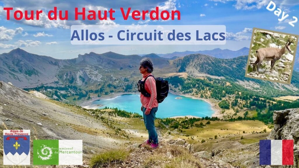
Allos : circuit des lacs, chamois, bouquetins et marmottes… Mercantour, Haut Verdon, France
Hello, today I’m leaving Allos to reach Lake Allos via the lake circuit which passes by Lake Petite Cayolle and Lake Garrets. 21 km and 1350 m of elevation gain. Haha! Interesting! Well, a little ford to start the day off right. I’m in the middle of the torrent and now I’ll have to find a way to find the path which is just opposite. It’s pretty. We’re walking along the edge of the torrent. Well, we’re starting the day off right. So for now, not many people on this GR54. Me, me, and me. Larches, spruces and broadleaf trees, maples, I think. The small rosemary-leaved willowherbs . And this is the waterfall area. Several pretty waterfalls.
Raspberry picking, delicious! This is the Mercantour Park house. Two guides were able to give me information on where I could go to collect water not far from the refuge at Lake Allos, whose source has dried up. I’m only 30 minutes from Lake Allos, but I’m going to take the school route. Well, I left the boulevard that leads to Lake Allos to stay on the GR56 to go around the lakes. This path is a delight and it’s nice in the shade of the larches. Well, I’ve been thinking about going up Mont Pelat. It’s a 3000m peak that’s 2 hours and 15 minutes away. But hey, I’m sticking with my idea of going around the lakes and I hope to see chamois, ibex, and other animals. And it climbs gently and allows you to observe the surroundings well. This little valley is magnificent. Chamois and a large, magnificent herd. And here are some more. Oh, I’m lucky today. Well, here we go again. So a fabulous episode, with a large herd of chamois, really numerous and babies, very observable. This herd of chamois, Wow! It makes the day, eh. So, well, a beautiful scree slope. With the naked eye, I can still see the chamois clearly on their little marmot mountain now. A beautiful raptor. I’m going to Lake Allos, but I’m not going in the direction of the arrow. I’m going to the Col de la Petite Cayolle. Yesterday, I was on the ridge line. There are beautiful drawings on this mountain. Look. Nice spot. I’m going to find a picnic spot and I’m going to take this path there which runs along the top of the lake. And so it’s the Lac de la Petite Cayolle and I arrive at the pass of the same name. Small view on the other side of the Cayolle refuge. Long crossing to the Col de l’Ausson and during this crossing, we overlook the lake. Well, Allos Lake is still signposted in the other direction. I’m starting to get a little worried. We’re arriving at Garrets Lake. The water level is so low that it’s cut in two, the lake. The valley I climbed through. A short passage along the ridge. Okay, it’s getting a bit technical, but it should work. Further on, there’s a little bit of T3. We’ll see what happens. There’s the pass, and behind it, there’s this. So, I can see it. You, of course, won’t see it. Ah, maybe you can. There’s a magnificent ibex there. Ah, beautiful colors. So, I’m coming from there. And I’m going that way. I’m leaving the magnificent Garrets Lake behind me. On this ridge, under the cloud, there are lots of ibexes there. Tac toc toc. With the naked eye, I can still see the ibexes up there on the ridge. In this valley, what we can see there in the background is the Cantonnière refuge. Well, since this morning, I’ve climbed 1300 m. I can’t see them, but I can hear them, the sheep. Well, I’m cross-eyed. They’re right there, the sheep. There, I was looking for them further away. Not from Lausson, 2600 m. And there’s the famous Allos lake. And there it is, the clouds have gone over the lake. The color is superb. Come on, let’s go. It’s only downhill to the refuge. So, I’ll see at the bottom if I’m going to try to find some water. The refuge’s spring has dried up, so they’re not refilling the water bottles for the next day. And I still have a long way to go tomorrow. Further down the lake, there’s a river that should still be flowing normally. So, I think I’ll go see it tonight. And we descend with a view of the lake. Lac d’Allos is one of the largest natural lakes… there with a little bit of grass. This hike is truly magnificent. Okay, I don’t have enough wide angle, but the lake is there. So there you go, the Grande Tour is there. The Petite Tour is there. I’ve come down well now. Okay, the little bit of descent from the pass was quite technical. Now it’s good. It goes down a small grassy path. A little bit of technical terrain. Well, here it’s quite technical, but it’s fun. And it continues. This end of the descent is really, really technical. Oh my, the color of this lake! In fact, there’s a chapel above the refuge. Larch, willowherbs, a beautiful lake! Oh, another marmot! Okay, there’s water. So I can refill all my water bottles and I have the micropure tablets to disinfect the water. That’s where I got my water. I can now reach the refuge and I take the other side of the lake. Wow! And so it was over there on the other side that I was. I find these mountains, these rocks magnificent. I get closer to my refuge. Wow! A forest of willowherbs in fact. And of course, the lake is there. Okay, let’s go, it continues. It’s a boulevard for the last few hundred meters to get to the refuge and raspberries. But these ones aren’t very ripe. And there you go. And that’s the arrival at the refuge. And that’s how this magnificent 2nd day on the Tour du Haut Verdon in the Mercantour Park ends .
Audio en Français et Anglais – sous-titrage en 6 langues (Anglais, Espagnol, Français, Italien, Coréen, Allemand).
Le jour 2 du tour du Haut Verdon offre de somptueux paysages, de magnifiques lacs (Lac de la Petite Cayolle, lac des Garrets, Lac d’Allos), des cols inoubliables (col de la Petite Cayolle, pas d’Aussois) et le possibilité de voir d’innombrables marmottes, des chamois et des bouquetins.
Départ d’Allos et direction le Lac d’Allos, mais en empruntant le chemin des écoliers (le circuit des lacs), ce qui fait une bonne journée, qui offre sont lot de merveilles à chaque pas.
Lien vers le tracé de la randonnée sur Komoot (Application de Randonnée) avec possibilité de télécharger gratuitement la trace GPX, cliquez ici : https://www.komoot.com/fr-FR/tour/2503540413?ref=itd&share_token=aXM0Yzv16USSpjTnCcg9quCwGgj1htbhuV7FfSRG7lGZBEbdd4
Si vous voulez savoir comment utiliser Komoot pour programmer une randonnée, cliquez ici :
#hiking #rando #randonnée #trek #trekking #nature #wilderness #voyage #travel #découverte #aventure #adventure #mountain #montagne #senderismo #lacd’allos #lacallos #mercantour #parcnationaldumercantour #hautverdon #verdon #alpesdehauteprovence #haut-verdon #petitecayolle #garrets #allos #lacdallos #lacdelapetitecayolle #lacdesgarrets #tourduhautverdon #chamois #bouquetin #marmotte
2 Comments
Randonnée absolument magnifique. Même si un parking existe tout près du lac d’Allos, je recommande de partir d’Allos, car la montée aussi vaut la peine.
Et pour faire le tour du Lac d’Allos, privilégiez le petit matin ou la fin de journée, la lumière est belle, et vous éviterez la foule 😊